Tourism
Beautiful Places to See
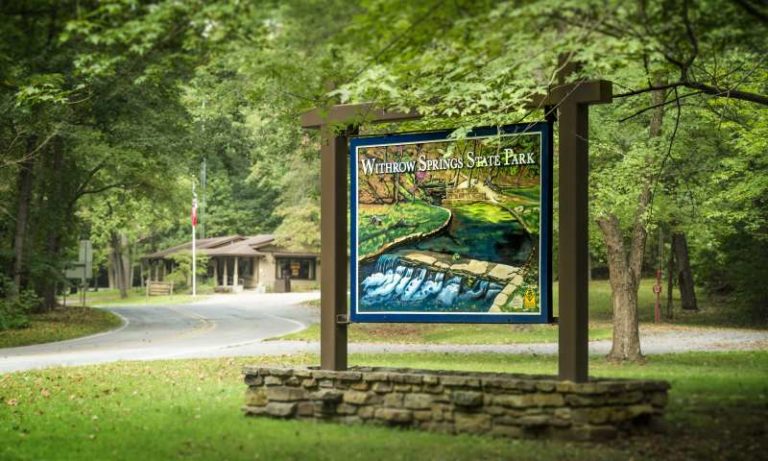
Withrow Springs State Park
A day of floating or fishing on these gentle waters is relaxation at its best. The park features 29 Class AAA campsites and 10 walk-in sites, plus three hiking trails. A unique flower, the rare Ozark trillium, grows here. Outdoor fun also includes tennis courts, baseball and softball fields, picnic areas, a pavilion, and gift shop.
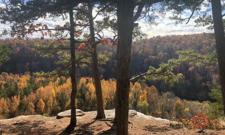
King's River Overlook
From Alltrails.com…King’s River Overlook Trail is a 1.2 mile moderately trafficked out and back trail located near Huntsville, Arkansas that features a river and is good for all skill levels. The trail is primarily used for hiking, walking, nature trips, and birding and is accessible year-round. Dogs are also able to use this trail. Visit their site at www.alltrails.com/trail/us/arkansas/kings-river-overlook-trail
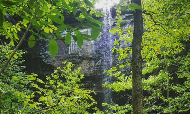
Sweden Creek Falls
Photo courtesy of Haley Richardson
From Naturalheritage.com… Sweden Creek Falls Natural Area, located in the Boston Mountains of the Ozarks, cuts through sandstone before eventually dropping into a scenic Ozark canyon creating the eighth largest waterfall in Arkansas. Read more at www.naturalheritage.com/swedencreekfalls
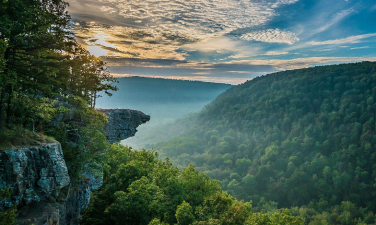
Whitaker Point Trail
(Hawksbill Crag)
From Alltrails.com… The trail’s destination is the “Crag,” a rock formation that juts out from the bluff’s face that resembles a hawk’s beak. It overlooks Whitaker Creek and a huge valley stretching for a long distance. In the spring and fall during rainy season, you can discover a number of waterfalls. Read more at https://www.alltrails.com/trail/us/arkansas/whitaker-point-trail-hawksbill-crag
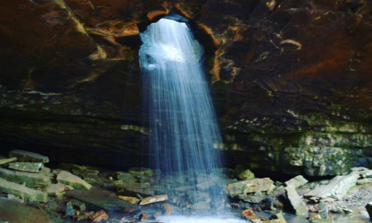
Glory Hole Waterfall Trail
Photo courtesy of Jacob Robertson
From Arklahoma Hiker’s website…The Glory Hole Falls trail is in Newton County in the Big Piney District of the Ozark National Forest. This is a well-maintained trail, much of it following along old jeep roads. However, there is no official trailhead and no official parking area. Read more at http://arkokhiker.org/northwest-arkansas/the-glory-hole/
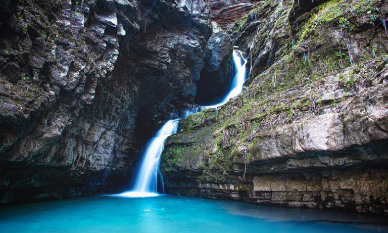
Indian Creek Trail
Photo courtesy of Nader Afsordeh
From Arklahoma Hiker’s site… The path to Indian Creek is not an official trail, but it is pretty well traveled. The trail follows Indian Creek out away from the Buffalo River. When the water is high (like after a good rain), there are numerous volunteer waterfalls that appear along the creek area. Read more at http://arkokhiker.org/northwest-arkansas/indian-creek-tunnel-cave-falls/
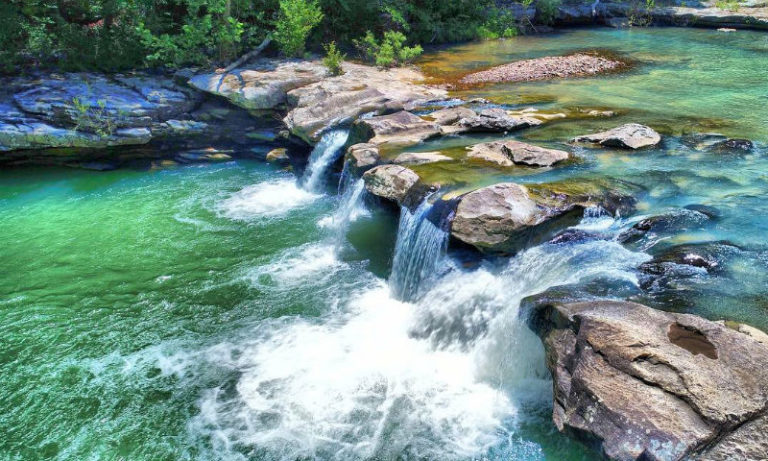
Kings River Falls
Photo courtesy of Dylan Dunlap
From Naturalheritage.com… The natural area includes more than 3 miles of the Kings River with Kings River Falls being a focal point. Kings River is a clear mountain stream originating east of Boston in Madison County. http://www.naturalheritage.com/natural-areas/kings-river-falls-natural-area
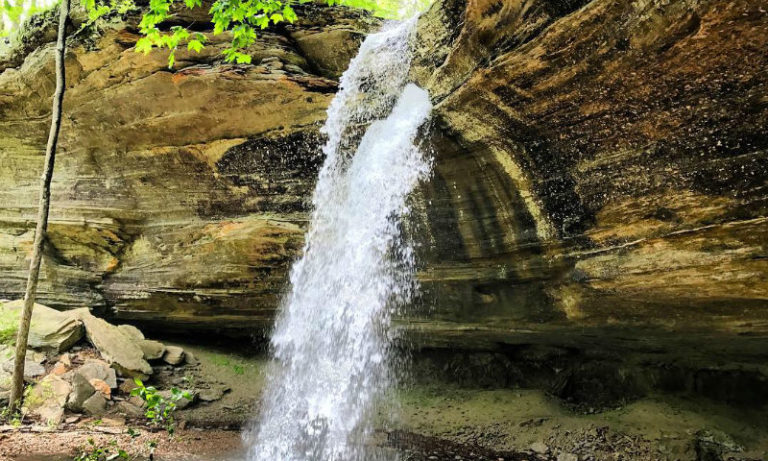
Tea Kettle Falls Trail
Photo courtesy of Creeks2peaks
From Alltrails.com… Tea Kettle Falls Trail is a 2.2 mile lightly trafficked out and back trail located near Huntsville, Arkansas that features a waterfall and is rated as moderate. The trail is primarily used for hiking and is accessible year-round. Dogs are also able to use this trail but must be kept on leash. Read more at https://www.alltrails.com/trail/us/arkansas/tea-kettle-falls-trail
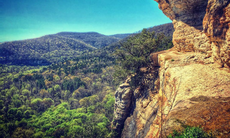
Centerpoint to Goat Trail
Photo courtesy of Stephanie Laverty
From Alltrails.com… Centerpoint to Goat Trail is a 5.9 mile moderately trafficked out and back trail located near Ponca, Arkansas that features a river and is rated as moderate. The trail offers a number of activity options and is accessible year-round. Horses are also able to use this trail. Read more at https://www.alltrails.com/trail/us/arkansas/goat-trail-to-big-bluff
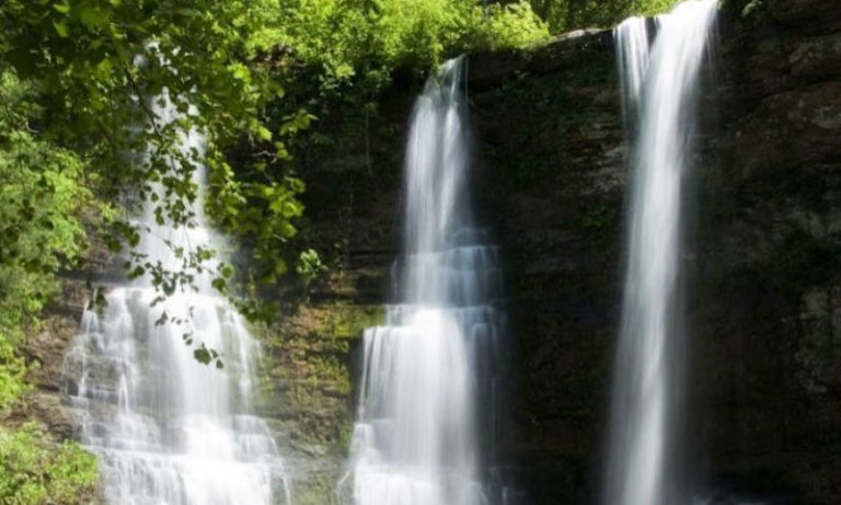
Triple Falls
Photo credit to jbrownell9 via Instagram
From Alltrails.com… Triple Falls (aka Twin Falls) at Boy Scout camp Orr, is a simple hike along the trail on the north side of the creek that heads west from the parking to the 48 ft. tall falls, arguably the most scenic in Arkansas with this ease of accessiblity. Read more at https://www.alltrails.com/trail/us/arkansas/triple-falls-trail
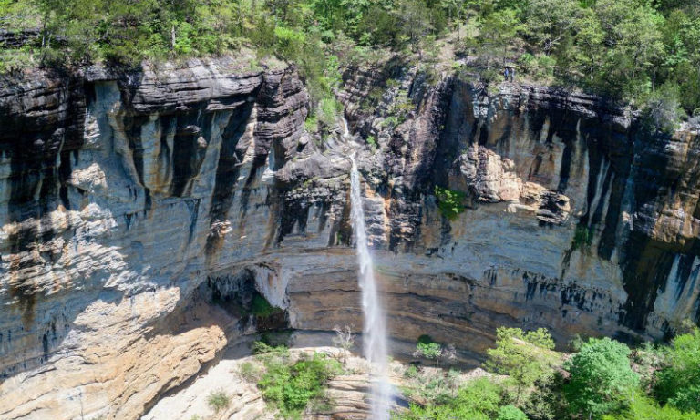
Hemmed in Hollow Trail
Photo credit to aevrst via Instagram
From Alltrails.com… Hemmed in Hollow Trail is a 5.5 mile heavily trafficked out and back trail located near Compton, Arkansas that features a waterfall and is rated as difficult. The trail is primarily used for hiking, walking, and nature trips and is accessible year-round. Read more at https://www.alltrails.com/trail/us/arkansas/hemmed-in-hollow-trail
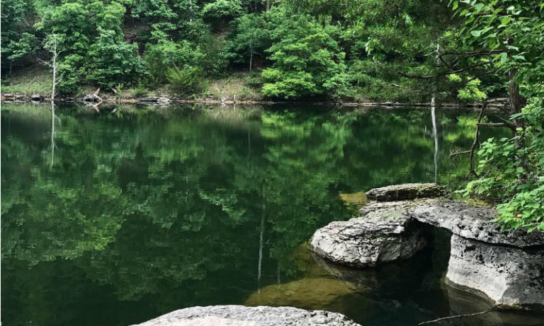
Pigeon Roost Trail
Photo courtesy of Miranda Kohout
From Arklahoma Hiker’s site… The trail is named for the extinct passenger pigeon which used to roost in this area in massive numbers. Like most of the trails at Hobbs, it covers a beautiful wooded area of rolling hills and seasonal stream beds. The trail consists of a spur and two large loops (Dry Creek and Huckleberry). If you just do the first loop, it is about a 4-mile hike. If you do the entire trail as a figure-8, it’s 9.4 miles.
Links to Area Activities
- For more waterfalls and trails to explore, go to http://arkokhiker.org/waterfalls/
- Ozark Natural Science Center click here.
- Arkansas travel/tourism website click here.
- Arkansas Travel Guide + Highway Map click here.
- Arkansas State Parks Guide click here.
- Arkansas Motorcycling Guide click here.
Northwest Arkansas
Activity Guide
The Northwest Arkansas Tourism Association (NATA) includes Benton, Washington, Carroll and Madison counties. NATA promotes the four-county area’s many attractions, destinations and tourism entities.
NATA has a great website to find interesting activities, festivals, and attractions. https://northwestarkansas.org/
VIEW TOURISM GUIDE
*Click the image to view the book online.
Arkansas Guide Books Available
Arkansas is one of mid-America’s most beautiful travel destinations. These great guides showcase interesting places to visit in our state, including different types of activities to suit your interests. Click on any guide to view it online, or click HERE to request mailed copies of the guides.


